News & Academies' activities
Monitoring Nature Restoration
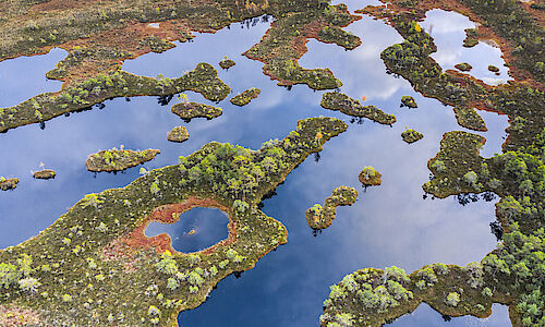
With all these benefits, we should hope that Member States recognize the opportunity of ambitious implementation. That motivation alone might not be enough though, and it might be difficult to secure proper monitoring of the biodiversity of meadows and moors. But, as the Austrian "Der Standard" reports, an Austrian research team has now developed a solution combining remote sensing and machine learning:
"What is new about this is the automatic linking of the satellite images in a machine learning model with the corresponding explorations on site, as well as the possibility of obtaining such high-resolution satellite images at such short intervals. An entire time series of such images can be used to identify differences in the meadows and thus classify thousands and thousands of areas. In this way, measures such as less frequent mowing can be monitored and ideal mowing times can be derived. It is also possible to recognise the direction in which the degree of biodiversity is developing.
It is also possible to use data from laser sensors. If an aeroplane or drone flies over a forest or moor, laser sensors record height information. These measure the time it takes for the laser beam to penetrate the vegetation and the number of levels at which the signal is reflected. From this, conclusions can be drawn about the vegetation in the vertical forest zones."


